Community Map
Find your way around Skyecroft.
Geographic orientation for the Waxhaw–Weddington area, with separate checks for visitor access and legal boundaries.
Geographic location
Skyecroft · Union County
Geographic reference only, not a boundary survey or permission to enter. Google Maps is an external service.
Open in Google MapsRead the map carefully
An address is a starting point, not a boundary.
Search Skyecroft for general orientation, then use the individual property's destination for a showing. Waxhaw postal addresses do not establish municipal jurisdiction, and a community search pin does not identify the legal extent of a homesite.
Before arriving
Arrange access through the seller or the association's current visitor procedures. Do not rely on an online map to establish entrance permissions or amenity privileges. Read the association guide before assuming a guest may use community facilities.
For a purchase or project
Request the recorded plat, a current survey, easements, and restrictions applying to the parcel. Aerial imagery can suggest questions about drainage, tree cover, and nearby land; it cannot establish buildable area, permitted additions, or lake rights.
For everyday travel
Test commute and airport routes at your planned departure times. Confirm schools using the district's address lookup, not the map's nearest-school label. The location guide and schools guide explain these separate checks.
Due diligence
Map layers worth checking for any Skyecroft lot.
A consumer map shows where a community is. The public map layers below show what a specific parcel is subject to. Check them for the exact property before an offer or a project, and keep copies with your purchase file.
Union County GIS
The county's parcel viewer shows the parcel number, approximate boundaries, assessed value, deeded owner, and zoning or jurisdiction layers. Use it to confirm whether a parcel is inside a town, in a town's extraterritorial jurisdiction, or in unincorporated county — the answer decides which zoning ordinance and tax rates apply. Read the Union County guide for how assessment and permitting work.
Flood and drainage
FEMA's flood map service shows mapped flood zones; a lot near water or a drainage way can be affected even inside a gated community. Mapped zones influence insurance requirements and premiums, so obtain a quote early. Recorded drainage easements, shown on the plat and survey, explain where water is meant to move across a lot.
Recorded plats
The Union County Register of Deeds holds the recorded subdivision plats and the declaration that binds each lot. The plat is the authoritative picture of a lot's lines, easements, and building restrictions; a GIS outline is only an approximation. The covenant guide explains which recorded documents to request.
Aerial and street views
Aerial imagery helps frame questions about tree cover, neighboring lots, and nearby roads, and it is often several months old. Visit at the times of day you would use the house, and treat any listing photograph as marketing rather than survey evidence.
Frequently asked
About the community's layout
Does this map show legal boundaries?
No. Google Maps provides geographic orientation, not a surveyed boundary or recorded plat. Verify parcel boundaries with county records and a current survey.
Can visitors drive into Skyecroft?
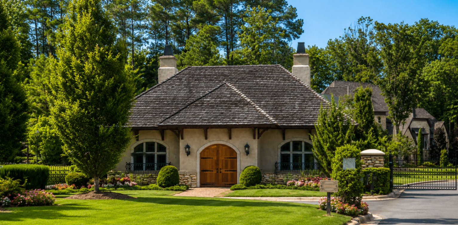
Skyecroft has gated access. Arrange seller-authorized viewing access or follow current association instructions; a map link is not permission to enter.
What if the embedded map does not load?
Use Open in Google Maps to open the geographic search directly. Browser privacy settings or network restrictions can prevent an external embedded map from displaying.
Related Chapters
Continue Reading
Begin the Conversation
Plan a properly arranged viewing.
Choose a real estate specialist, then confirm listing availability and seller-authorized access.